Add a Curriculum Bundle to Your Account!
Please select a bundle.


The Pack contains associated resources for the learning experience, typically in the form of articles and videos. There is a teacher Pack (with only teacher information) and a student Pack (which contains only student information). As a teacher, you can toggle between both to see everything.
Here are the teacher pack items for Regions of Texas: Mountains & Basins:

Overview In this experience, students first make predictions about physical characteristics of the Mountains and Basins region based on its name. Then they learn about and summarize the physical characteristics. Next they use a physical map to compare this region to the rest of Texas. Finally they create a poster to encourage tourism to the region. Note that geographers divide the United States into ten natural regions, and four of them are found in Texas: the Mountains and Basins, the Great Plains, the North Central Plains, and Coastal Plains. The Teacher Pack contains a link to educational resources on the different regions. Estimated duration: 30-40 minutes, or more if you want to allow extra time for students to create their posters Discovery Reading A printable Discovery Reading is included in the student pack as a support for understanding the experience’s core content and concepts. This Discovery Reading is not necessary to complete the experience and serves as an optional support resource. Vocabulary Words: These vocabulary words are used in the experience or connect closely to the standards and content students examine. Students should understand these terms as they work through the experience. Objectives
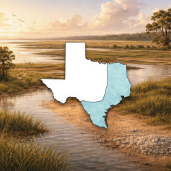
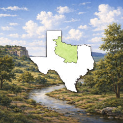
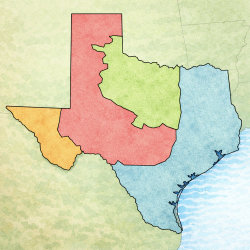
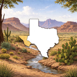
Texas is divided into four regions—the Mountains and Basins, the Great Plains, the North Central Plains, and Coastal Plains. The regions are determined by the physical geography, such as landforms, climate, and vegetation. In this experience, you will learn about the Mountains and Basins.
Objectives

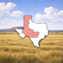
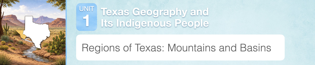
Map of the Four Regions of Texas
Based on the region’s name “Mountains and Basins” and its location on the map shown above, what predictions can you make about this region?

Sample predictions: mountainous, desert, not many residents Students are not expected to know much about this region yet. Do not correct any incorrect predictions at this point. You may want to revisit their predictions following Scene 3 and let students evaluate which predictions were right and which were wrong.